Joch Pass
| Joch Pass | |
|---|---|

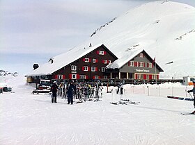
The Berggasthaus at the Joch Pass in winter
|
|
| Elevation | 2,207 m (7,241 ft) |
| Traversed by | Track or trail |
| Location | Bern/Nidwalden, Switzerland |
| Range | Uri Alps |
| Coordinates | 46°46′42″N 08°23′12″E / 46.77833°N 8.38667°ECoordinates: 46°46′42″N 08°23′12″E / 46.77833°N 8.38667°E |
|
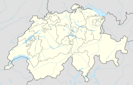
Location in Switzerland
|
|
The Joch Pass (German: Jochpass) is a mountain pass of the Uri Alps, located between the Bernese Oberland and Central Switzerland, at the foot of the Titlis. The pass crosses the col between the peaks of and , at an elevation of 2,207 m (7,241 ft) and at the border between the cantons of Bern and Nidwalden.
The pass is traversed by a mule track, now used by hikers and mountain bikers, which connects the town of Engelberg, in the canton of Obwalden and at an elevation of 1,000 m (3,300 ft), with the town of Meiringen, in the canton of Bern and at an elevation of 595 m (1,952 ft). The track forms part of the Alpine Pass Route, a long-distance hiking trail across Switzerland between Sargans and Montreux.
...
Wikipedia

