Lock and Dam No. 7
| Lock and Dam No. 7 | |
|---|---|

Mississippi River Lock and Dam No. 7
|
|
|
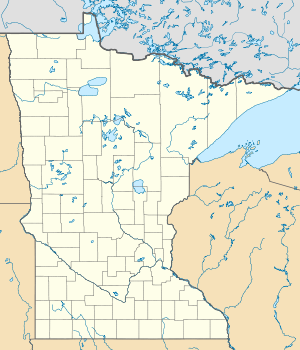
Location of the Lock and Dam No. 7 on the border of Minnesota and Wisconsin
|
|
| Country | United States |
| Location |
Winona County, Minnesota La Crosse County, Wisconsin near La Crescent, Minnesota |
| Coordinates | 43°52′01″N 91°18′26″W / 43.86694°N 91.30722°WCoordinates: 43°52′01″N 91°18′26″W / 43.86694°N 91.30722°W |
| Purpose | Navigation |
| Status | In use |
| Construction began | 1933 |
| Opening date | April 1937 |
| Operator(s) | United States Army Corps of Engineers |
| Dam and spillways | |
| Impounds | Upper Mississippi River |
| Height (foundation) | 41 ft (12 m) |
| Length | 10,860 ft (3,310 m) |
| Spillways | 2 |
| Spillway type | 5 Roller Gates 11 Tainter Gates |
| Spillway capacity | 273,000 acre·ft (0.337 km3) |
| Reservoir | |
| Creates |
Lake Onalaska Pool No. 7 |
| Total capacity | 5,000 acre·ft (0.0062 km3) |
| Catchment area | 62,340 sq mi (161,500 km2) |
| Surface area | 13,440 acres (54.4 km2) |
| Normal elevation | 636 ft (194 m) |
| Power station | |
| Hydraulic head | 25 |
| NIDID# MN00587 | |
Lock and Dam No. 7 is a lock and dam located on the Upper Mississippi River at river mile 702.5 near the cities of La Crescent, Minnesota and Onalaska, Wisconsin. It forms pool 7 and Lake Onalaska. The facility was constructed in the mid-1930's and placed in operation on April, 1937. It underwent major rehabilitation from 1989 through 2002.
The lock and dam system consists of a concrete structure 940 feet (286.5 m) long with five roller gates and 11 tainter gates, a segment of earth embankment 8,100 feet (2,468.9 m) long from the dam to French Island separated by a concrete spillway 1,000 feet (304.8 m) long, and another embankment 2,400 feet (731.5 m) long from French Island to Onalaska which has a concrete spillway 670 feet (204.2 m) long. The lock is 110 feet (33.5 m) wide by 600 feet (182.9 m) long.
...
Wikipedia


