Warbstow Bury

Rampart and ditch at the south of the fort
|
|
| Location | Near Warbstow, Cornwall grid reference SX 201 908 |
|---|---|
| Coordinates | 50°41′22″N 4°32′51″W / 50.68944°N 4.54750°WCoordinates: 50°41′22″N 4°32′51″W / 50.68944°N 4.54750°W |
| Type | Hillfort |
| Area | 7.5 hectares (19 acres) |
| History | |
| Periods | Iron Age |
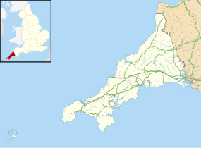
Warbstow Bury is an Iron Age hillfort about 0.5 miles (0.80 km) west of the village of Warbstow, in Cornwall, England.
The site is 807 feet (246 m) above sea level, on a hill at the heads of two tributaries of the River Ottery. It has been a scheduled monument since 26 November 1928.
The fort is one of the largest earthworks in Cornwall. It is an oval enclosure, area about 7.5 hectares (19 acres). There are two concentric ramparts and ditches; the ramparts are up to 5.8 metres (19 ft) high, with ditches up to 2.7 metres (8.9 ft) deep. Between these, in the southern part, are the remains of an earlier rampart.
The inner rampart has two original entrances, inturned and facing each other, on the north-west and south-east, and there are corresponding simple entrances in the outer rampart.
In the centre of the fort is a medieval rabbit warren: a rectangular mound, or pillow mound, about 22 metres (72 ft) long, 10 metres (33 ft) wide and 0.6 metres (2.0 ft) high. It is known as "The Giant's Grave" or "King Arthur's Grave".
...
Wikipedia

