Weissfluhjoch
| Weissfluhjoch | |
|---|---|

The Weissflujoch
|
|
| Highest point | |
| Elevation | 2,693 m (8,835 ft) |
| Prominence | 64 m (210 ft) |
| Parent peak | Weissfluh |
| Coordinates | 46°50′00″N 09°48′23″E / 46.83333°N 9.80639°ECoordinates: 46°50′00″N 09°48′23″E / 46.83333°N 9.80639°E |
| Geography | |
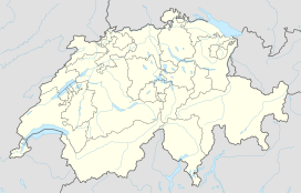
| Location | Graubünden, Switzerland |
| Parent range | Plessur Alps |
| Climbing | |
| Easiest route | Funicular |
The Weissfluhjoch (2,693 m (8,835 ft)) is a summit southeast of the Weissfluh (2,843 m (9,327 ft)) situated in the Plessur Range in Graubünden. Since 1932, a funicular railway (the Parsennbahn) leads to its summit from Davos.
On the Weissflujoch are located several laboratories of the Institute for Snow and Avalanche Research.
...
Wikipedia

